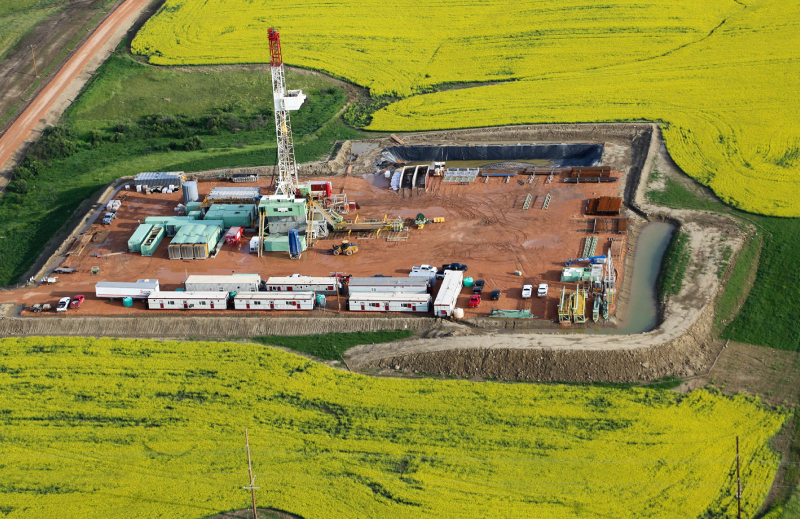
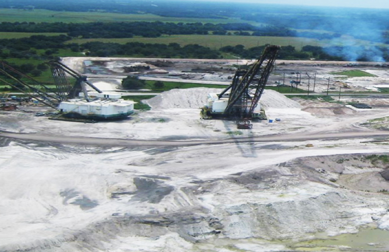
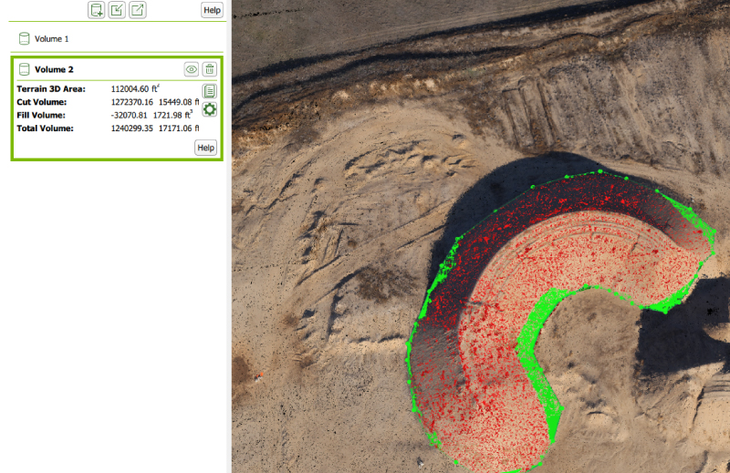
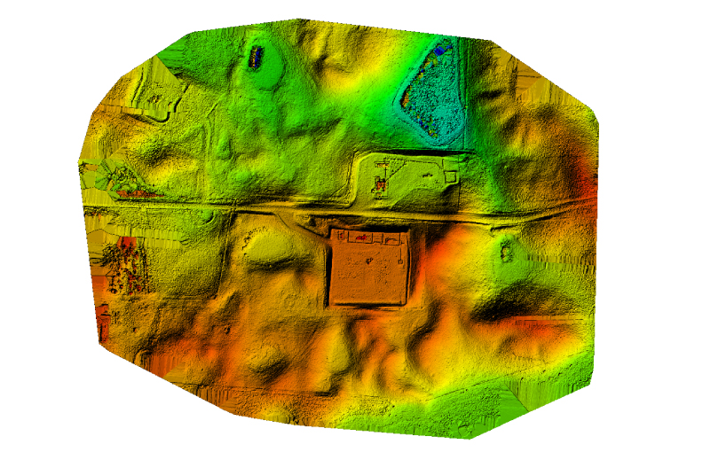
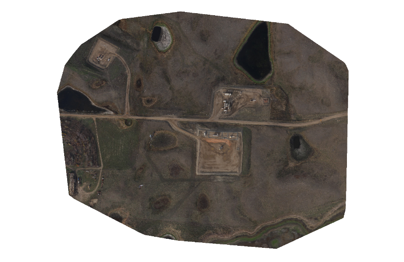
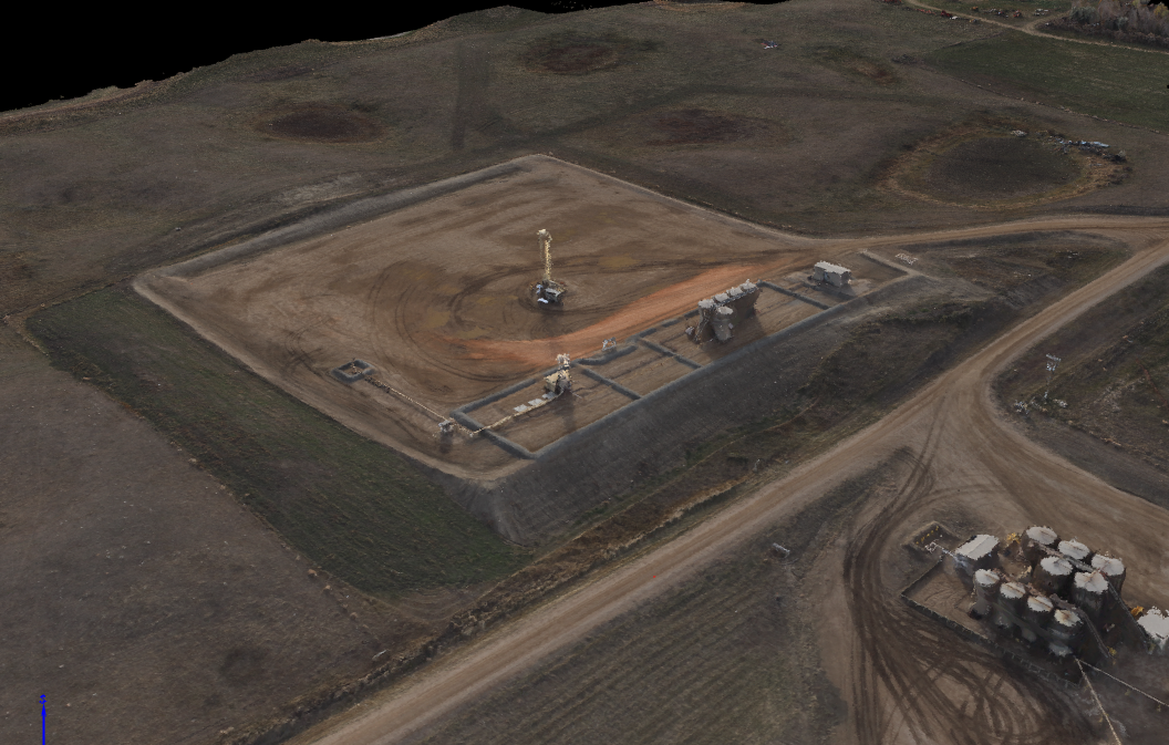
Project Controls utilizes small efficient fixed wing single engine aircraft equipped with the latest camera hardware and software for our aerial mapping service. We serve Montana, North Dakota, Utah, Colorado and Wyoming. For service outside of these states please contact us.
We are able to provide an economical way of gathering the aerial data to the customer at a fraction of the price compared to traditional aerial mapping methods, allowing customers such as aggregate/gravel operators to excavation contractors the benefits of aerial mapping and survey that otherwise would have been cost prohibitive.


