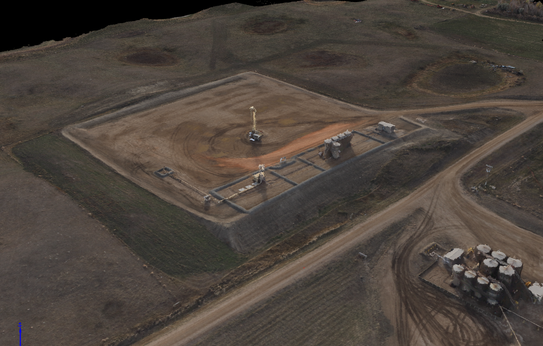
The Densified Point Cloud is a set of 3D points that reconstruct the model. The X,Y,Z position and the color information is stored for each point of the Densified Point Cloud and provides a very accurate background for distance, surface and volume measurements.
Category: Aerial Mapping Data
Orthomosaic
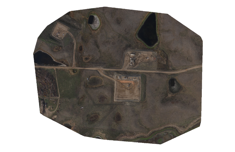
The orthomosaic is a 2D map. Each point contains X, Y and color information. The orthomosaic has uniform scale and can be used for 2D measurements (distance, surface).
Orthomosaic uses
- Asset Management
- Up to date image analysis
- Environmental Planning
- Google Earth Overlay
Digital Terrain and Surface Models
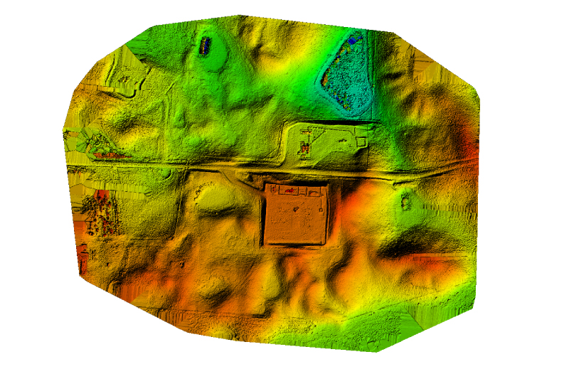
The DSM (Digital Surface Model) is a model of the mapped area that includes objects such as buildings. The DTM (Digital Terrain Model) is a model of the area after filtering out objects such as buildings and structures.
Volume
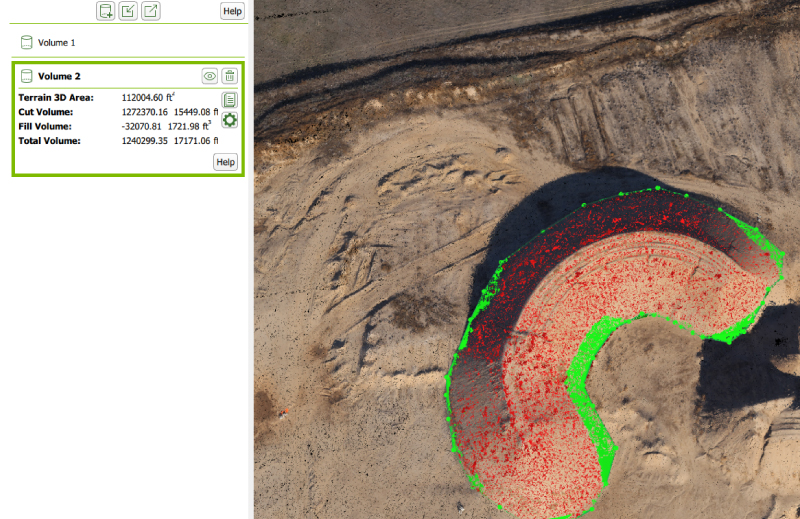
Volume reports are created with the use of the point cloud information that provide accurate data and image of the stockpile or borrow site.