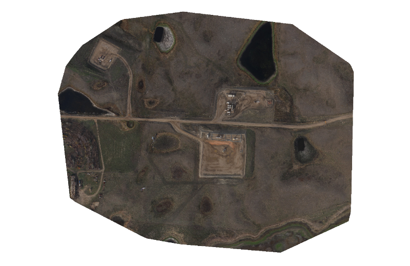
The orthomosaic is a 2D map. Each point contains X, Y and color information. The orthomosaic has uniform scale and can be used for 2D measurements (distance, surface).
Orthomosaic uses
- Asset Management
- Up to date image analysis
- Environmental Planning
- Google Earth Overlay


