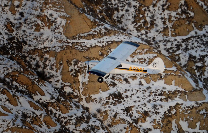
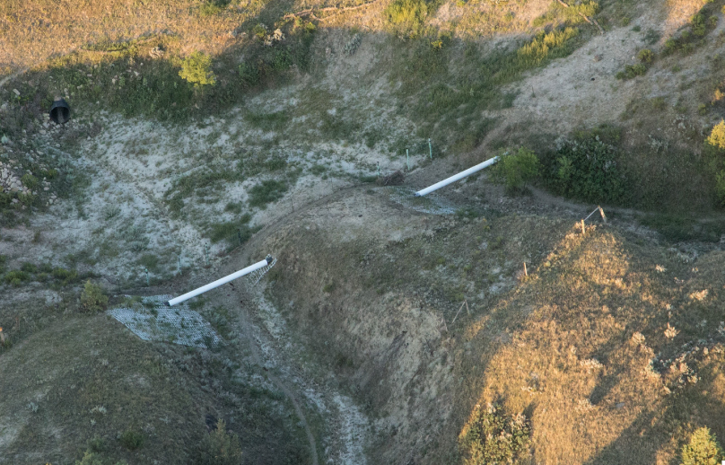
To provide the operator more detailed information of what we see during the inspection photographs of each observation are included in the report
Category: Pipeline Patrol Detailed
Google Earth Reporting
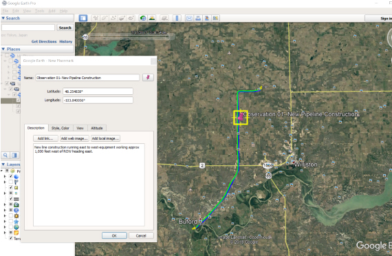
Google Earth is utilized to provide accurate location reporting information of each observation. A Google Earth KML or KMZ file is included within each report upon completion of the flight. This file includes the following information:
- The shape file of the pipeline
- The actual flight track of each inspection, that includes the date and time the line was inspected
- The exact location with description of each observation
Reporting
We understand that the communications between the patrol pilot and the pipeline operator is equally as important as the patrol itself. Our priority is to accurately communicate detailed information of each observation, to the operator as soon as possible this is accomplished this with the use of photographs and accurate maps.
- Our standard reports that are submitted at the end of the patrol include the following information:
- Line Name
- Date and Time of Inspection
- Latitude/Longitude of each observation
- Description of each observation
- Previously reported observations
- Photos of the observation
- Reports can be custom made that best fits the customers’ needs and requirements
- All reports, GIS files and photos are shared with the customer via email and/or Dropbox
Critical Areas
Critical areas that require special attention during the patrol and are identified by the pipeline operator or Project Controls Inc. These areas are noted on the maps and communicated with the patrol pilot prior to each flight. Examples of critical areas can include the following:
- Work near the ROW such as Gravel Pit, Drilling Rig, Construction and Mine
- Areas with sensitive to erosion or settlement
- Steep terrain
- High traffic areas over ROW
- Above ground lines/crossings